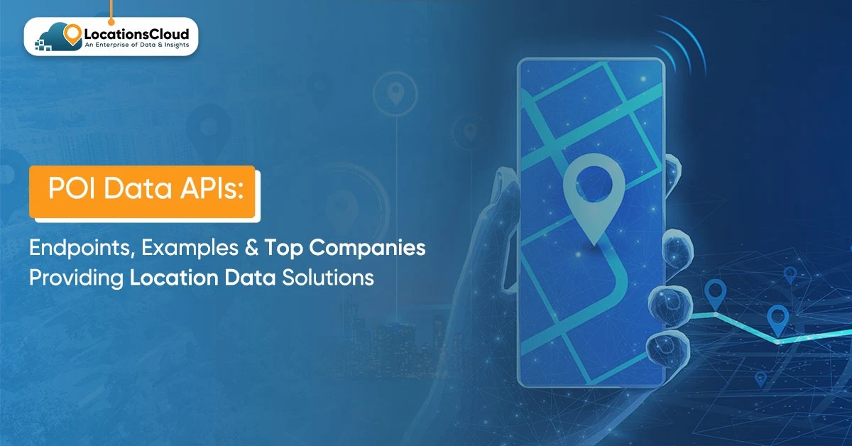
Point of Interest (POI) data APIs are indispensable tools for modern location-based applications, providing programmatic access to comprehensive databases of real-world places. These APIs allow developers to integrate rich location intelligence directly into their platforms, enhancing user experiences and enabling powerful analytics.
A crucial step towards building robust and scalable geo-enabled services involves understanding the architecture, data structures, and provider landscape of POI data APIs. The guide provides technical details and important information about service providers which will support developers, product managers and technical decision makers to make effective decisions.
What are POI Data APIs and their Core Purpose?
POI (Point of Interest) Data refers to structured, geospatial information about locations in the physical world that people will want to find, visit, analyze, or interact with. A POI can be any identifiable place on the Map with a name, purpose, and geographical coordinates.
Mapping, navigation, delivery logistics, travel recommendations, real-estate insights, and retail intelligence all have one thing in common: they are all driven by the Point of Interest (POI) data. Businesses, landmarks, public spaces, and other such entities can be searched, filtered and visually represented by applications with the help of the meaningful POI data content.
Definition and Scope of POI Data
At its core, POI data includes:
- Geographic coordinates (latitude/longitude)
- Place name and category
- Address and contact details
- Operating hours
- Attributes (ratings, amenities, accessibility, brand, etc.)
- Metadata (reviews, images, popularity, foot traffic in advanced datasets)
The scope of POI data goes beyond simple location pins. Modern POI datasets power:
- Maps and navigation systems
- Delivery and logistics route planning
- Travel and tourism discovery
- Real estate location intelligence
- Retail site selection and competitive analysis
POI data is accessed via application programming interfaces, typically utilizing JSON object notation for ease of integration into applications.
Instead of making applications and building pipelines from scratch, many POI data providers make their data and APIs available in B2B marketplaces, making it convenient to acquire good-quality location data in organizations.
Common use cases for POI APIs include:
- Mapping and Navigation Apps: Displaying businesses, restaurants, and services on a map, and providing routing information.
- Delivery and Logistics Platforms: Validating addresses, locating pickup/drop-off points, and optimizing routes.
- Travel and Tourism Apps: Suggesting attractions, hotels, and dining options to users based on their location or travel plans.
- Real Estate: Enriching property listings with nearby amenities like schools, parks, and shopping centers.
- Retail Analytics: Analyzing foot traffic patterns, competitive landscapes, and site selection for new stores.
In contemporary times, there are appropriate APIs that provide standardized formats in offering Point of Interests (POIs), including (but not restricted to) JSON, which can be accessed via RESTful APIs among other means, and attribution, attribute ranges from simple ornodubb contact details to more complex details to even pictures or information such as opening hours.
Types of POI Data
Retail Locations
Examples: Walmart, Apple Store, Target, IKEA
Retail POIs represent physical store locations where goods are sold. Retail brands and analytics firms often source this data from IT service providers and location data vendors available through specialized B2B platforms.
These are heavily used in:
- Store locators and maps
- Retail analytics and competitor mapping
- Site selection and market research
- Foot traffic and trade area analysis
Typical attributes include brand, store type, opening hours, parking availability, and accessibility.
Food Chains and Restaurants
Examples: McDonald’s, Starbucks, Subway, KFC
Restaurant POIs are critical for:
- Food delivery platforms
- Local search and discovery
- Travel and recommendation apps
- Customer review and rating platforms
Attributes often include cuisine type, price range, ratings, menus, dine-in/takeaway options, and peak hours.
Public Places (e.g., parks, airports)
Examples: Central Park, John F. Kennedy International Airport, Golden Gate Park, Heathrow Airport
Public POIs include landmarks, transportation hubs, parks, museums, hospitals, schools, and government buildings. These are essential for:
- Navigation and mapping
- Travel planning
- Urban planning and GIS systems
- Emergency and public services routing
Key attributes include category, accessibility, facilities, and official designations.
Key POI Data Fields and Attributes
The comprehensiveness of available POI data is very important when it comes to the use case of location applications. A POI’s fundamental characteristics are its essential fields, whereas nonessential fields serve the purpose of providing more information.
Common POI Data API Endpoints
- Name: The primary identifier of the place.
- Address: Full street address, often broken down into components.
- Coordinates: Latitude and longitude for precise mapping.
- Category/Type: Classification (e.g., restaurant, park, hospital).
- Phone Number: Contact information.
- Opening Hours: Daily and weekly operating schedules.
Enhanced attributes:
- Ratings and Reviews: User-generated feedback and average scores.
- Photos: Images of the POI.
- Price Level: An indicator of affordability (e.g., $, $$, $$$).
- Amenities: Facilities like Wi-Fi, parking, and outdoor seating.
Metadata and Identifiers:
- Place IDs: Unique identifiers for consistent referencing across services.
- Chain Information: Brand affiliation for multi-location businesses.
- Verification Status: Indicates if the POI data has been verified by the provider or owner.
Data quality and freshness are essential requirements because SafeGraph and its competing companies must validate their sources through monthly updates which they must verify through comprehensive testing.
Real-Time POI Data API Examples
Real-time POI Data APIs may be useful to applications in providing current information about places with regard to categories, geography, and proximity. A few practical models of initiating such APIs are described below. These are examples closer to the point in how these APIs are used.
Example 1: Extracting POI Data for Retail Chains
Examples of retail POIs: Walmart, Target, IKEA, Apple Store
Sample Endpoint
GET /api/poi/retail?brand=Walmart&lat=40.7128&lng=-74.0060&radius=5000
Data Returned
- Place Name
- Brand / Category
- Full Address
- Latitude & Longitude
- Distance from user
- Opening Hours
- Contact Details
Use Cases
- Store locator features
- Competitor mapping
- Retail site analysis
- Trade area and footfall analytics
Example 2: Extracting POI Data from Public Places
Examples of public POIs: Central Park, Golden Gate Park, John F. Kennedy International Airport, Heathrow Airport
Sample Endpoint
GET /api/poi/public-places?type=park&city=San+Francisco
Data Returned
- Place Name
- Address
- GPS Coordinates
- Facility Type (park, airport, hospital, etc.)
- Accessibility Information
Use Cases
- Travel and tourism apps
- Urban planning and GIS
- Emergency and public services routing
Example 3: Using POI Data in a Location Intelligence Application
Sample Endpoint
GET /api/poi/geo?lat=34.0522&lng=-118.2437&radius=2000
Data Returned
- Nearby POIs
- Distance from user
- Popularity / foot traffic metrics
- Category distribution
- Proximity scoring
Use Cases
- Location intelligence dashboards
- Real estate amenity analysis
- Retail expansion strategy
- Personalized recommendations based on user location
Top POI Data API Providers
The global location analytics market is projected to reach $27.07 billion in 2026, with key players like Google, Esri, Microsoft, HERE, and Foursquare (Fortune Business Insights).
Google Places API: Part of the Google Maps Platform, it offers extensive global coverage and rich data, including user-generated reviews and photos. Google operates on a pay-as-you-go model with SKU-based pricing, offering a $200 monthly credit (Google). Its strengths lie in comprehensive mapping integration and real-time data, but costs can escalate with high volume.
Factual (now part of Foursquare): Previously a standalone provider, Factual’s data and capabilities have been integrated into Foursquare’s offerings, enhancing its POI database and services.
HERE Location Services: Focuses on enterprise solutions with global coverage in over 200 countries, powering millions of vehicles (HERE). HERE offers a freemium model with 250,000 free transactions per month, followed by $1 per 1,000 additional transactions (HERE). Its strengths include flexible transaction-based pricing and an open platform for developers (Sanborn).
Tom Tom: TomTom is recognized as a location technology company, whose base is located in the Netherlands, and which is mostly focused on digital map making, creation of navigation software, collection of dynamic traffic data, and provision of services based on movement patterns and locations. TomTom has its name for the provision of highly accurate POI data, geocoding, routing, traffic-aware navigation through their Maps and Search APIs within in-vehicle navigation systems and mobility frameworks. Its technologies are found inescapably in varying sectors such as automotive, logistics, fleet management, and mapping systems, where geospatial and navigational data are indispensable.
Mapbox Search API: Offering tailored maps and location services, inclusive of Search API for geocoding and POI search, Mapbox is famous for being able to offer its flexible, developer-driven tools, while its many customization options set it far apart from Bing Maps or Yahoo Maps.
How to Scrape POI Data Using APIs and Web Scraping Tools
Web Scraping POI Data from Websites
Most of the time, POI data can be accessed via standard APIs coming directly from services or companies. However, that is not the case everywhere. Location information found on parameter-locked websites, public listings, or maps, including business addresses, is very rare, if not impossible, to ‘download’ in large amounts. In such circumstances, web scraping may serve the purpose of obtaining public location information, which includes names, coordinates, categories, and addresses, where accessing such data through APIs is impossible.
The official APIs commonly provide POI data; however, public directories, such as business locators and map services, sometimes display information on numerous locations, which is hardly ever available for a bulk download. Where applications do not help, web harvesting is useful for facilitating the extraction of location information in the public domain, such as area names, addresses, and coordinates.
This process typically involves identifying structured patterns in web pages (HTML, JSON responses, map embeds) and programmatically extracting relevant fields.
Using Python for Scraping Location Data
Python is widely used for scraping POI data due to its rich ecosystem of libraries:
- BeautifulSoup – Parsing static HTML content
- Scrapy – Large-scale, structured crawling
- Selenium – Handling JavaScript-heavy, dynamic map pages
Typical workflow:
- Send request to the webpage
- Parse HTML/DOM structure
- Extract POI fields (name, address, category, lat/long)
- Store in structured format (CSV/JSON/DB)
Tools for Scraping Location Data
| Tool | Best For | Purpose |
| BeautifulSoup | Static pages | HTML parsing and tag extraction |
| Scrapy | Large directories | Automated crawling and pipelines |
| Selenium | Dynamic maps | Rendering JavaScript-heavy content |
Best Practices for Scraping Location Data from Public Directories
- Respect robots.txt and website terms
- Throttle requests to avoid server overload
- Use rotating headers/IPs responsibly
- Validate and clean extracted address data
- Combine scraped data with geocoding APIs for accuracy
Legal Considerations in Scraping POI Data
- Only scrape publicly accessible data
- Review website Terms of Service
- Avoid scraping copyrighted or restricted datasets
- Prefer official POI APIs when available
- Ensure compliance with data privacy regulations
Key Use Cases for POI Data in Various Industries
Retail and E-commerce: Targeting Local Customers
Retailers turn POI data into actionable market insights by leveraging neighboring competitor analysis, assessing customer catchment areas, and conducting hyperlocal marketing campaigns.
Food Delivery Services: Optimizing Routes & Proximity Analysis
Delivery platforms rely on POI data to map restaurants, calculate delivery radii, and optimize driver routes.
Travel & Tourism: Location-Based Suggestions
Travel apps recommend attractions, hotels, and dining options based on proximity to popular POIs.
Real Estate: Finding Properties Near Key POIs
Property platforms enrich listings with nearby schools, parks, hospitals, and transport hubs.
B2B Location Data Solutions for Enterprise Needs
Enterprises use POI datasets for:
- Market expansion analysis
- Competitive intelligence
- Site selection strategy
- Location intelligence dashboards
Benefits of Location Intelligence for Modern Businesses
Definition of Location Intelligence
Location Intelligence refers to deriving actionable insights through the analysis of geospatial data, layered and combined with business data, points of interest, customer locations, and movement patterns.
Use in Targeted Marketing and Customer Engagement
Geo-targeted campaigns, personalised offerings, and customer engagement levels can be raised to the appropriate POI site.
Integration with Other Business Systems: CRM, GIS, and Analytics Platforms
POI and geospatial data integrate with:
- CRM systems for customer mapping
- GIS platforms for spatial analysis
- Analytics tools for performance measurement
Real-time Data Updates for Dynamic Decision-Making
Live POI updates (store openings/closures, hours, popularity trends) help businesses make agile operational and marketing decisions.
Challenges in Using POI Data APIs and Solutions
Data Accuracy and Consistency Issues
Challenge: Outdated addresses, duplicate listings, inconsistent categories
Solution: Regular data validation and cross-referencing multiple sources
Geospatial Data Privacy Concerns
Challenge: Handling user location data responsibly
Solution: Follow GDPR and regional data privacy standards
API Rate Limits and Access Costs
Challenge: Limited API calls and pricing constraints
Solution: Caching responses and optimizing queries
Complexity in Integrating with Existing Systems
Challenge: Merging POI data with legacy systems
Solution: Use middleware, standardized formats (JSON/GeoJSON), and ETL pipelines
Conclusion: Choosing the Right POI API
While choosing the right POI API, much will depend on the nature of an application’s requirement for location data whether it’s about mapping and navigation, delivery optimization, retail analytics, travel, or a broader location intelligence. In summary, an efficient solution should provide accurate geospatial coverage, rich attributes for places, frequent data updates, and strong performance for real-time querying.
When evaluating options, consider factors such as regional coverage, frequency of POI updates, quality of search and filtering, pricing structure, rate limits, and ease of integration with your existing systems. Support for standardized formats (like JSON/GeoJSON), strong documentation, and scalability for growing data needs are also important.
Ultimately, the right POI API is one that aligns with your specific use case, technical requirements, and scale, enabling you to build applications that deliver meaningful, context-aware location experiences.
Need Accurate POI Data for Your Industry?
Access verified business locations, attributes, and geo-coordinates through custom POI APIs.
Contact Us